The Imaginary Town That Refused To Stay Fake
It's like Field Of Dreams with a grocery store.
Welcome to Everything Is Amazing, a newsletter about applied curiosity.
Sometimes it looks at the fascinatingly odd ways our minds seem to work. Sometimes it’ll talk to interesting people. Sometimes it’ll suggest that your day would be best spent by going out and doing something really daft…
(Sound like your kind of thing? Sign up so you don’t miss any of it…)
But today?
Today we’re driving to a place in the south of New York State where reality appears to be broken.
If you’re ever in Delaware County, be sure to head over to the tiny hamlet of Roscoe. There’s not really anything to see there (unless you’re into fly-fishing: Roscoe calls itself “Trout Town, USA”). But drive past the gas stations and convenience stores and head just a little north, to where an unnamed dirt road meets NY 206.
Stop the car a second, stretch your legs, and look around.
Apart from the two roads meeting and a faint shadow of a knocked-down building at the side of the road, it’s nothing but trees, grass and birdsong round here. But trust me. This is a once-in-a-lifetime experience you’re having right now.
You’re standing in Agloe, Colchester: a place which, simultaneously and without contradiction, does and doesn’t exist.
Our maps are filled with imaginary places - and it’s usually the map-makers that did it.
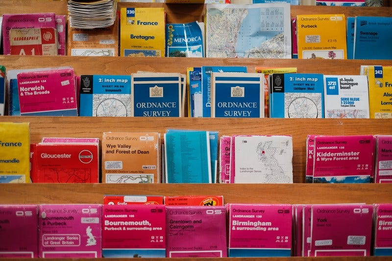
Go back a hundred years and you’ll find an epidemic of map-copying. Drawing up a map is an expensive business, so naturally there were folk who saw no harm in, let’s say, cutting a few corners: take a competitor’s map, change the colours a little, stick your own logo in one corner and hey, who’d know?
To ward off this kind of skullduggery, cartographers injected a bit of fantasy into their work. An imaginary street here. A non-existent mountain there. Tiny changes, in places unpopulated enough to escape detection, but acting like a hidden signature, undeniable proof that this map came from that map-maker. Enough to win a court case, if the miscreants dug their heels in.
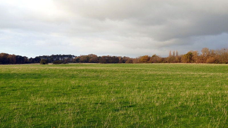
This has been going on for at least a century, so these fictitious placenames are everywhere. BBC Radio 4 comedian Steve Punt found one in 2010 in West Lancashire, England. It’s called Argleton. A place that appeared on the books of estate and letting agents, employment agencies and weather services. A place which appeared in the addresses of local businesses. A place you could easily find on Google Maps, as late as 2009…
A place that actually looks like this:
The village of Aughton is just a hundred metres away: evidence of a cartographic typo? Perhaps. But Punt concluded it’s more likely that Argleton was faked up as a copyright trap to catch map-pirates - and it escaped detection for decades, in the middle of a country so densely populated you can find an average of 440 people crammed into every one of its 130,000 square kilometers.
(Since this was 2009 and the Internet was already a thing, “inhabitants” of Argleton quickly started online petitions, and one built a visitor’s website, filled with entirely nonsensical facts about the place. Ahh. Folk, eh?)
Across the Atlantic, there’s no such mystery about the origins of Agloe, New York State. The clue is in the name - an anagram of the initials of Otto G. Lindberg and Ernest Alpers of General Drafting, one of the “Big Three” main publishers of road maps in the U.S. between 1930 and 1970.
The company doesn’t exist now: it was swallowed up by the American Map Company in 1992 along with its entire state maps catalog.
If you’ve ever worked in a big company, at some point you’ll have been told to do something because well, that’s the way it’s always been done, so just shut up and do it. (My dad told me a lovely example of this from his RAF days: someone spilled paint on a tarmac path at an airbase, and to hide their clumsiness, painted it into a square. When they returned a decade later, they found it’d been faithfully repainted every year since.) So it’s not hard to imagine copyright traps escaping notice, as ownership of maps shift hands and everyone gets too busy to verify historical data.
That’s how Agloe escaped detection as a place that doesn’t exist.
But that doesn’t explain why it also does exist.
Here’s where it gets weirder. At some point in the 1950s, some uniquely enterprising soul looked at this eye-wateringly uneventful intersection at the scrag-end of Nowhere, N.Y., and said to themself, “You know, with a few groceries and a lot of love I could make a real go of this place.” They grabbed an Esso map to get the name right - and so the Agloe General Store was born.
Skip forward a few years. The mapping company Rand McNally (one of the other “Big Three”) releases its own state map. And someone at Esso - the company that had bought General Drafting’s map for commercial use - was checking for copyright theft, and spotted the inclusion of “Agloe” on the RM map. They probably thought “aha! Got you, you thieving *******” - and in came the lawyers.
In their legal defence, Rand McNally said their map designers went to the official map of the county, found the name of the place, and logically concluded it existed. On what grounds? Well, on the grounds that there were actual people there. Specifically, the owners of the Agloe General Store.
Sure, Agloe may have once been fake, but now? Now it was real - meaning Agloe had moved from an incriminating copyright trap into unassailable geographical fact, and therefore according to the law, no infringement had taken place.
It appears Rand McNally won the day.
(Image: Scottish storms rolling in over Miketown.)
Is that all it takes to make a settlement geographically “real”? Could I take my bivvy-tent down to the beach here in Scotland and establish Miketown (pop. 1; principal exports: weekly newsletters)?
Not so much, of course: from what little I learned of it as an archaeologist, the creation of placenames on maps is a staggering complex thing. In the UK, it’s even more confused by the way some medieval names have been blurred by time in a Telephone/‘Chinese-Whispers’ sort of way, or in some cases, toned down to render them printable.
(An example of this: any street in the UK called “Grape Lane”. Please don’t click this Wikipedia explanation if you are of a sensitive disposition.)
For a while, it looked like Agloe’s short life as an Actual Place was over. Facing the economic reality of running a grocery store in a spot so out-the-way that it was a suitable location for a copyright trap, the owner of the Agloe General Store closed its doors at some point - and since it’s no longer there, the building must have been demolished and stripped for materials.
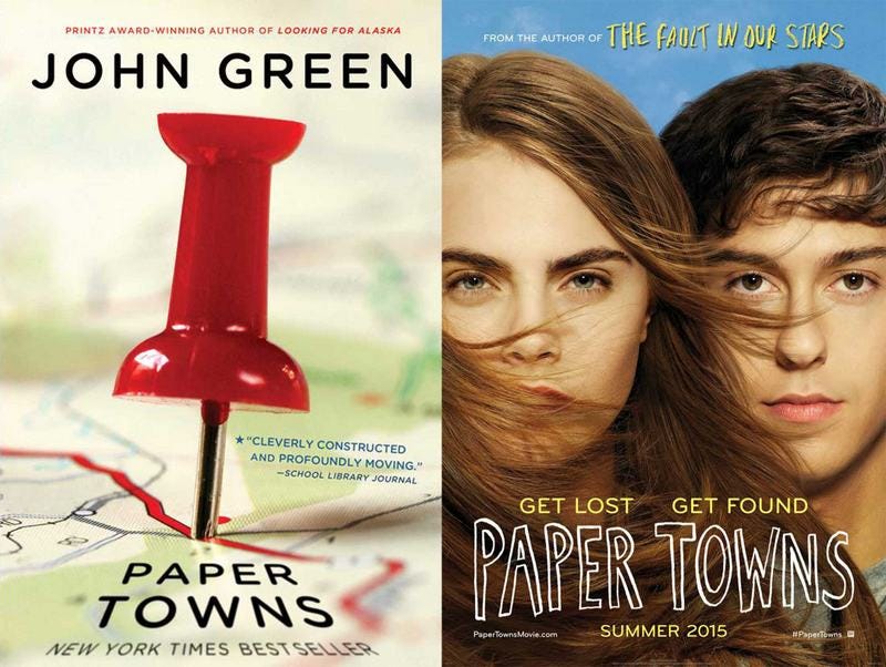
But then along came novelist John Green (him of The Fault in Our Stars, yes). In his 2008 novel Paper Towns (and later its film adaptation), the protagonist is desperately seeking his childhood sweetheart - and from a clue on a piece of paper, realises she’s retreated from the real world into one of these fictitious places. His investigations lead him to New York State, and eventually to…
You guessed it.
From Green’s website:
"It is through this that he eventually finds Agloe, a town that was fake but then made real by virtue of having been put on a map, and in doing so finds Margo. Basically, I wanted a different definition of 'paper towns' for each section of the book, each representing a different way of his imagining Margo."
A year after the United States Geological Survey labelled Agloe as “Not Official,” the campaign to put it back on the map roared into action…
Well, sort of.
When John Green first arrived in what he thought was Agloe, he found a field and a barn - so that’s what he put in his story:
"The strangest part of it to me is that this place that was imagined, and then real, and then disappeared, and then imagined again through my story — has kind of, in a way, become real again," Green says. "Because people have started to go there again and to associate that field and that barn with the idea of Agloe. And that's certainly something that I never, ever imagined when I was writing the book."
- NPR
Except, when this writer had done his own exploring, the barn he’d been told about was nowhere near where Agloe was marked on the map.
Despite a huge amount of media coverage for the “paper town” (ie. copyright trap) phenomenon thanks to Green’s book, it looks like there’s still nothing at Agloe. It’s still abandoned. It’s perhaps telling that this BuzzFeed article about it is now broken, with missing images, presumably due to lack of traffic.
But there’s one tantalizing detail to keep the dream alive. The Wikipedia entry for Agloe has this line: “Agloe has a population of one, as of 2020.”
It’s not referenced - and hey, Wikipedia is frequently a whole bag of what-the-hell at the best of times. I’m not sure it’s trustworthy, and I haven’t found anything else to back that population statistic up…
But it’s a nice thought: some borderline-deranged fan of the idea of Agloe, living in a homemade cabin in those trees over there, just across from where you’ve parked. Maybe, like Japanese soldier Hiroo Onoda, this lone soul refuses to believe the battle is over. Maybe they believe all the maps are wrong - because hey, they were totally wrong before, so why not now? Maybe they’re plotting something amazing that will prove beyond all doubt that their beloved home is real…
Maybe you should carefully edge your way back to the car? Aye. Best do that.
In a place like this, you never know what’ll happen next.
More from Everything Is Amazing on map-related fakery here and here.
Further Reading:
“An imaginary town becomes real, then not. True story.” - Robert Krulwich, NPR
“Welcome to Argleton, the town that doesn’t exist” - Leo Hickman, Guardian
“With ‘Paper Towns’,” Author John Green Reopens Search For Agloe, N.Y.” - NPR
Images: Small-town hero/Wikimedia, Adam Wilson, Foto Phanatic, Mike Sowden
Was this your kind of thing? Hooray! Subscribe to get more posts like it in your Inbox every week:


I remember watching Paper Towns and thought it was a great film, must read the book one day. Fascinating stories. It is possible this topic came up on QI at some point in time, if it hasn't, it should!
yeah, they're actually called "trap streets" (and towns, I suppose). I love that this also happens in dictionaries (at least, when those were still a thing).
https://www.atlasobscura.com/articles/trap-streets-with-no-names